Weather: The odds of an El Niño winter look favorable in western Washington
SEATTLE — There are days in Seattle it seems the weather forecast plays the odds on whether it will be dry with a rain shower or, rain showers with a dry break. Perhaps it's more like flipping a coin.
In the KOMO 4 Weather Center, we make your forecast daily, twice a day, for accuracy and the most recent weather model solutions. We can show you what is happening in this minute all the way into the following day with confidence.
Longer range forecasts use different weather models and data and must be applied with a broad brush. Seasonal outlooks are not used to dictate every single daily forecast, their odds however, can be applied.
Each year, a winter outlook is presented and the discussion of whether it is an El Niño, La Niña, or neutral year is had. The weighted odds can be used to determine a more difficult extended forecast, instead of flipping a coin.
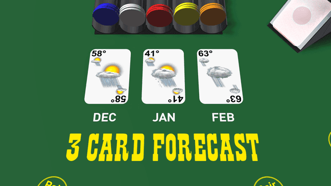
We want to know what to expect when going into the "Weather Casino."
We know that the house of Mother Nature always wins but, a weather forecaster will always gamble at nailing down an expectation. That’s okay for the impact of one storm that will affect one to two, sometimes three days, at a time. When attempting to land all the forecasts for a three-month period, you can’t be a card counter if you don’t know how many decks are shuffled together.
It’s always more favorable to play the odds.
Climate prediction is better for showing the odds on what seasonal totals will be and what averages we will have at the end.
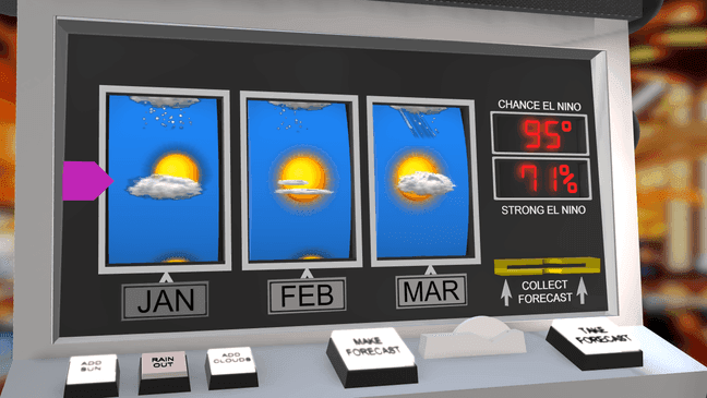
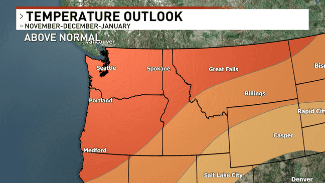
It is 95% certain that El Niño will occur for January 2024 through February and March 2024. There is a 71% probability this will be classified as a strong El Niño. The odds for El Niño impacts (in Washington state) are temperature averages more likely above normal, precipitation averages are equal of being above normal, below normal, or normal.
When temperatures are warmer than normal in the winter, the snow level tends to be higher in the mountains. It can mean we won’t have good odds at several rounds of sea-level snow. El Niño decreases our risk of lowland snow events.
If precipitation develops below normal for the season, the combination with warmer temperatures may lead to below average snowpack.
Wintertime in the Pacific Northwest is almost always wet and cool. November through March are climatologically the wettest, most flood-prone time of year.
This climate prediction is information derived from annual observations and decades of study and statistics of our oceans and the atmosphere.
The long range forecasts are provided by the Climate Prediction Center (CPC) and are issued from 30 to 90 days at a time. The CPC also provides the seasonal outlooks to help guide short term forecasters, the farming industry and multiple other companies of commerce.


