What makes a 'marine push'?


Marine pushes are the summertime occurrences that bring our steady diet of morning fog. It also contributes to our "natural air conditioning".
On most days in the summertime, there is higher pressure that sits offshore from Western Washington, and lower pressure inland. Most of the lower pressure is from the heat in Eastern Washington and, the daytime warming of Western Washington.
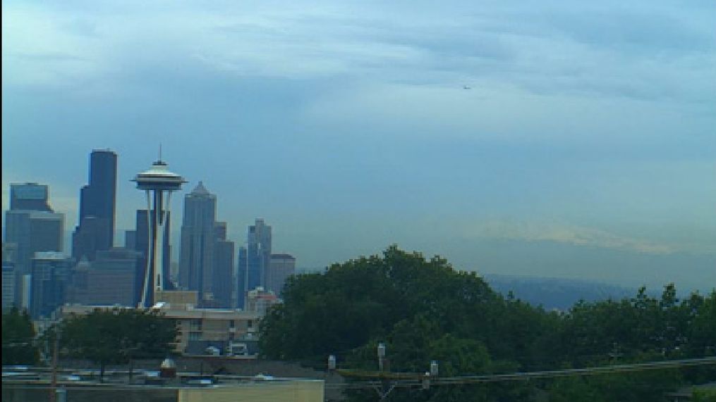
Meanwhile, fog and low clouds develop along the coast, as the warm air from the sun tends to condense into fog over the much-cooler Pacific Ocean.
As the ground heats, the hot air rises. That creates a little bit of a "vacuum", if you will, that will draw air in from the outside to replace it.
That air will usually come from the higher pressure offshore. Thus, at nighttime, we'll get a push of air from the ocean through the Strait of Juan de Fuca and the "Chehalis Gap" -- the gap in terrain between the Olympics and Coastal Mountain Range near Chehalis.
Many times the marine push will bring in fog along with the cooler temperatures.
When this happens, we'll usually begin the day under low clouds and fog, and then it'll slowly burn away, leaving mostly sunny skies in its wake.
The strength of the marine push can vary greatly, to where we can be stuck in the fog for most of the day with temps on the low 60s, to just a light patchy fog (or even no fog at all) and just a slightly cooling effect, and temps in the upper 70s/low 80s. It all depends on the relative strength of the high and low pressure, and the amount of low clouds along the coast.
Do It Yourself Forecasting
There are a lot of different factors in forecasting a marine push, but as a general "guesstimate", check out this link:
http://www.wrh.noaa.gov/sew/dients.php
This will give you a measurement of how strong the differences in pressure are between two places. This is fairly cryptic, but here's a quick lesson in decoding this product.
The DD/HH is the day and hour of the observation. The top observation is the most current. It is listed in UTC time (the old Greenwich Mean Time), which is 8 hours ahead of Seattle on standard time, and +7 on Daylight Savings Time. The units are in millibars of pressure.
The best column to look at is HQM-SEA. That's Hoquiam to Seattle. If the number is positive, that means the pressure is higher in Hoquiam than in Seattle, so air would flow "onshore". A negative number would be offshore flow.
A light marine push is probable when the HQM-SEA number is between +1.0 and +2.0. A moderate push would be +2.0 to +3.5, and strong push would be greater than +3.5. If it's between -1.0 and +1.0, that's a weak flow day, which would be sunny and warm (could mean dense morning fog in wintertime). A strong negative number (less than -1.0) would mean a strong offshore flow day, and probably very warm temperatures in summer.
OTH-SEA is North Bend, Oregon to Seattle.