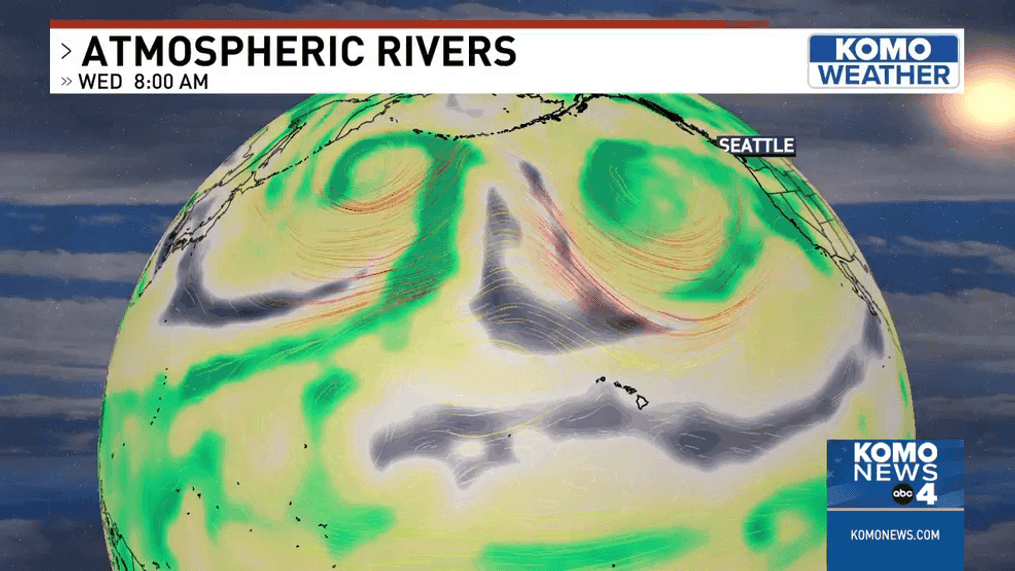
First atmospheric river of 2023 for western Washington

WASHINGTON — Sometimes, a basic frontal system becomes much more ominous and is written about in historical almanacs when an atmospheric river is added, therefore assuring higher amounts of rainfall.
Add in a very low, pressure center passing and wind becomes a more powerful element.
Here in the Pacific Northwest, several more ingredients are coming with a storm now that is bringing dangerous waves and high surf to the coastline along with warmer temperatures that will change snow to rain in the mountains.
This is our first atmospheric river of 2023 for western Washington. It brings copious rainfall with the highest amount of rain to be added up over the Olympic Peninsula. The rainforest is starting the year off right with an estimated 5 to 8 inches of rain, probably higher than 8 inches in a few spots.
The snow level is soaring up to 7,000-8,000 feet for the Olympic mountains, allowing far more rain than snow to fall into the river systems.
Snow levels are also rising up to 7,000 feet for Snoqualmie Pass and the south Cascades by noon Thursday, January 12.
All of our rivers will be rising through early Friday and must be watched by surrounding residents and businesses. Expectations for flooding are high for rivers flowing off the Olympics and North Cascades. All other rivers are being monitored and be sure to check their levels.
Soils are already saturated from previous storms and with this 48 to 72 hour rain event the pressure placed on ground has caused the Landslide Risk to elevate. This will continue over the weekend.
The list of dangers from atmospheric rivers is long, this first atmospheric river is checking a lot of boxes.
Here is a video description of how atmospheric rivers this year have wreaked havoc across the state of California.
And now the jetstream has curved a frontal system that has the subtropical tap of an atmospheric river right up to western Washington. The character of this storm system is trying to keep going north, but it stalls, at our coastline, which will hold the bulk of all the rain right over the Olympic Peninsula.
This video of the Futurcast track of the storm has brief pauses to allow you to see the placement of rain and the time, together.