Bitter cold temps, eastside winds on tap for Puget Sound region
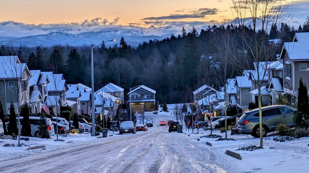
SEATTLE — The bitter cold air is in place and here to stay through the weekend in western Washington. There's also a chance for potentially damaging wind gusts in parts of the region that could knock out power for some.
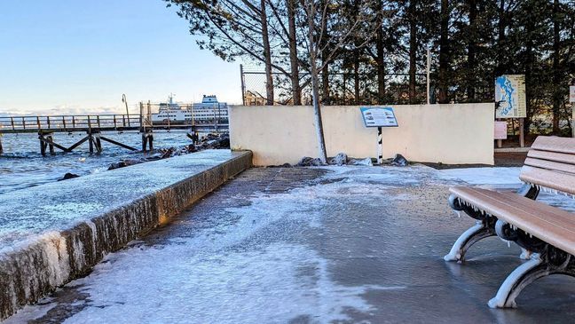
Highs only topped out in the teens and twenties Friday around the Puget Sound region, making for the coldest Jan. 12 on record for most communities, according to KOMO's Chief Meteorologist Shannon O'Donnell. Seattle's 25 degrees beat the old record "low-high" of 29 set back in 1963, and Bellingham's biting 10 degrees topped the former record low-high of 18 from the year 1971.
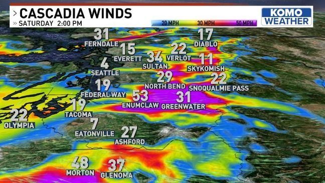
The National Weather Service (NWS) issued a high wind warning until 10 p.m. Saturday for the east Puget Sound lowlands. O'Donnell said the winds turn easterly Saturday, and these well-known "Cascadia Winds" will howl out of the passes and gaps in the terrain and shoot into communities like Enumclaw, Maple Valley, North Bend, and Monroe to the tune of 35-55 mph.
"With frozen solid trees and winds of that magnitude, I'd expect a lot of tree and power line damage on the east side this weekend," O'Donnell said. It's a good idea to charge your devices and prepare for the loss of power if you're in the Cascade foothills.
ALSO SEE:How to report a power outage and ways to stay safe
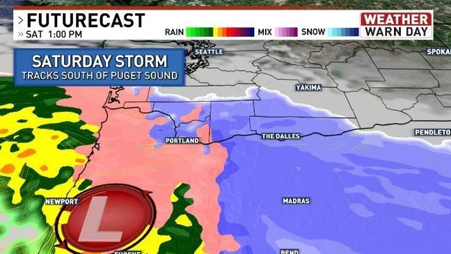
Besides the frigid temperatures and wind concern, the other issue Saturday is the chance for lowland snow to the south. While the next big front curls into Oregon, some of that snow will inch up the I-5 corridor, O'Donnell said.
While the Portland-metro area will see the bulk of this storm, Lewis County to Clark County should also expect steady snow Saturday.
In Seattle proper, the chance for snow is slim Saturday and the gustier winds should stay on the eastside of King County, but even SeaTac may see the occasional easterly blow of 35-45 mph, O'Donnell said.
RELATED:How to keep your pets safe during winter weather
The winds calm down by Sunday and the chance for lowland snow will be over. High temperatures will inch back toward freezing in the Puget Sound and the region will continue to get warmer through the week.
Next week, a front coming in late Tuesday may start as snow or sleet, but will quickly change to rain as we continue warming Wednesday.


